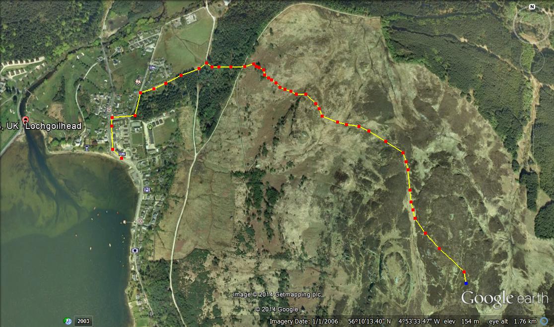
Total distance – 4.2 kilometres
Ascent – 360 metres
Walking conditions – Good well-defined footpath, slightly steep in places. No difficulties.
Time required – Around 2.5 to 4 hours
Nearest town – Drymen
Conic Hill sits directly on the Highland Boundary Fault Line and is a joy to behold. Conic Hill also bailed me out of a very tight spot once. It was around New Year and I had just invited my future wife out on our first date. The plan was to go ice skating in George Square, Glasgow. However, when we reached George Square to my horror the temporary ice rink was no longer there. Thinking quickly I suggested a trip to Balmaha and so it was agreed. As we sat in Balmaha having dinner in the Oak Tree Inn the allure of Conic Hill proved too much. Re-assuring my future wife that her Converse pumps were adequate for a walk up Conic Hill in fading light and icy conditions we set off. Unbelievably, it actually went well although I have to say that I do not condone this type of reckless behaviour, but that’s first dates for you. Then again, you could never go wrong with a trip to Conic Hill.
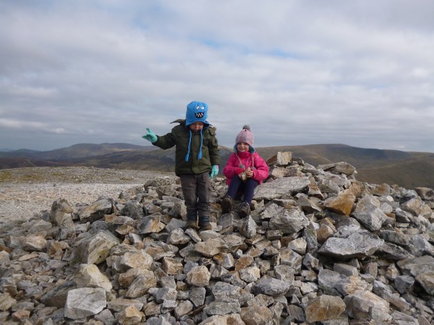
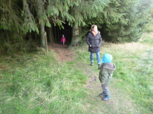
Start your walk from the large car park at the foot of Conic Hill and next to Balmaha’s Visitor Centre (the car park fills up quickly on bright summer days so get there before 11 am on these occasions). Follow the forest track as it winds its way through the trees remembering to take a left at the first junction. From thereon it is a fairly steady ascent through the trees for a few hundred metres until you reach a gate at the end of the forest. As you walk onto the open ground you immediately start to appreciate the splendour of your surroundings. The path continues to climb a little steeply in some places until you are on the shoulder of Conic Hill. From here on in it’s just a steady climb to the top. You have the choice of staying on the path or walking directly up the shoulder for a better view. When you reach the top you will be see a trig point surrounded by a diverse range of people. Some will be wearing full Gortex waterproofs whilst others will be wearing Converse pumps. They’ll all be smiling and gazing out over Loch Lomond. Return via the same route.
When you get back down you can let the children play in the play-park, feed the ducks, or even go on a boat trip to Inchcailloch Island. Whatever you do take time to have a wander around this enchanted place called Balmaha.

Route