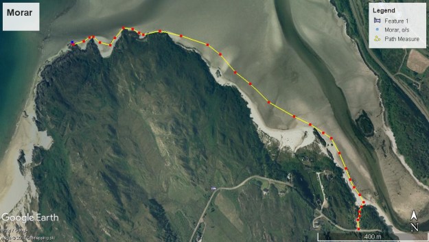
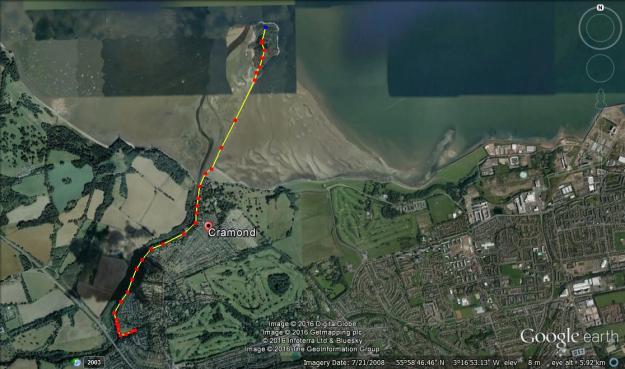
Total distance – 2.5 Kilometres
Ascent – 110 metres
Walking conditions – Well-defined, clearly marked footpaths. No difficulties.
Nearest town – Fort William
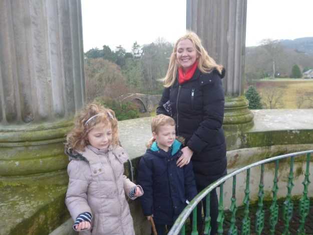
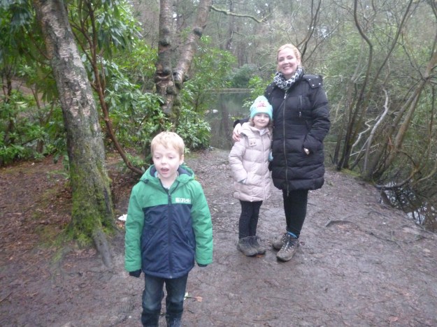
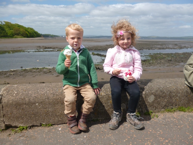
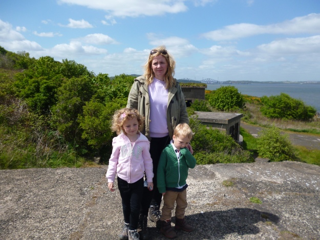
Over 100 years ago, Lord Strathcona built the Glencoe Lochan for his Canadian wife to remind her of her own country. Fortunately, my wife is Scottish so this is one expense I won’t have to worry about. Anyway, all I can afford is a paddling pool and I don’t think my wife would appreciate that as a birthday present. What my wife does appreciate however, is a good walk in a spectacular setting and Glencoe Lochan Walks certainly offers this.
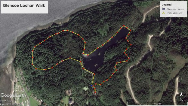
There are three short walks (denoted red, blue and yellow) which you’ll find displayed on the noticeboard at the Glencoe Lochan parking area and this is where you start the walk. As they all are short walks it’s easy enough to do a combination of all three.
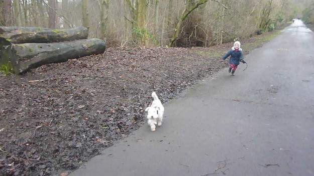
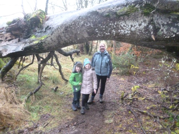
From the car park follow signs for the blue route. This path ascends around 80 metres through the forest to the higher ground on the eastern side of Glencoe Lochan. At the highest point of the path there’s a lovely viewpoint with a picnic table, so make good use of it before the path takes you straight back down to the loch. Take the loch path in an anti-clockwise direction and when you’ve walked about halfway around you’ll see a yellow post. This is the Woodland Walk which takes you in a 1 Kilometre circuit through the forest and back to the loch, then on to the car park.