Monthly Archives: October 2017

Allt na Criche, Fort Augustus

P1080748

P1080754

P1080741

P1080745

Total distance –  2.5 Kilometres

Ascent –  120 metres

Walking conditions – Well-defined footpaths and forest tracks. No difficulties.

Nearest town – Fort Augustus

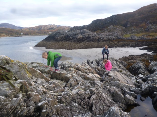
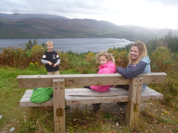
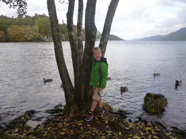
Formerly Kiliwhimin, Fort Augustus was established following the 1715 Jacobite Rebellion. It’s a picture postcard town next to Loch Ness and is perhaps best known for hosting one of the most spectacular of the Caledonian Canal’s series of lochs. Allt na Criche lies just outside Fort Augustus and there’s a great little forest walk circuit that affords excellent views of Loch Ness.

Start the walk at the clearly signposted Allt na Criche car park which is about 1.5 Km north on the A82 outside Fort Augustus. If you choose to go anti-clockwise (like us) you start by walking north up a fairly steep footpath clearly identified by a post with a white stripe (These posts clearly mark the route throughout the walk). Within a couple of hundred metres you will see a waterfall to the right of the footpath. The footpath then takes you directly to a wide forest track with a bridge over the waterfall to your right. However, you’re not going over the bridge here. You’re actually turning left onto the forest track and on to the Great Glen Way. This track provides great views of Loch Ness. and gently winds and ascends for a distance of about 800m until you come to another post with a white stripe turning  left down onto to a narrow footpath. This takes you through a dark forest to another wider forest track leading you back to the car park.

Allt na Criche

Camusdarach Beach,Morar, Highland

P1080758

P1080766

P1080776

P1080791

Total distance –  3.1 Kilometres

Ascent –  10 metres

Walking conditions – Sand and rock underfoot. No difficulties.

Nearest town – Mallaig

My wife was born and bred in a west of Scotland seaside town and is therefore an expert on the Gulf Stream. Being regular visitors of Largs my wife never misses the opportunity to inform me that the abundance of palm trees is a result of the Gulf Stream. I must confess that I am now losing the ability to display surprise and wonder at these revelations. Fortunately, our recent trip to Morar allowed my wife to enlighten me on a Gulf Stream fact that I am less familiar with. As it turns out the beautiful silver sand of Morar originates from the other side of the Atlantic and is transported by the Gulf Stream. And what a sight!

For this particular walk you don’t really need a route map as it’s basically a walk along one of the most breath-taking and magnificent beaches in Scotland. But for what it’s worth, we set off at the car park which is next to the public toilets on the B8008 a few hundred metres west of the A830 on the south bank of the estuary of the River Morar. From there, follow the short, sandy footpath straight to the beach. At this point, just turn left and walk across the sand in the direction of Muck, Rum and Eigg which you’ll see in the distance. Depending on the tide you’ll be able to walk for about 1 kilometre or so until the coastline bears left in a SW direction. At this stage you’re as well climbing a few feet onto one of the rocky outcrops for sandwiches and an uninterupted view of the islands. It’s then just a case of retracing your footsteps back to the car.

Make sure you visit the village of Morar whilst you’re there. If you’re lucky you might catch the Jacobite steam train at the station. And just next to the station across the level crossing, if you take the footpath to the left it takes you on a quick 30 metre ascent up to a fantastic viewpoint featuring a large cross.

Morar

Screel Hill, Palnackie, Dumfries and Galloway

p1060582


p1060574

Total distance –  4.9 Kilometres

Ascent –   340 metres

Walking conditions – Well-defined footpaths and forest tracks. No difficulties.

Nearest town – Dalbeattie

Many walkers living within the Central Belt are instinctively drawn to heading north when they fancy a rugged ascent over rocky outcrops, having associated southern Scotland with rolling grassy hills. But that’s not the full story as anyone who has ascended Sceel Hill can attest to. Every one of its 344 metres is well-earned but also well rewarded.

Set off from the Screel Wood forestry car park which is located about 4Km north of Auchencairn on the minor road just off the A711. You’ll walk up a winding forest track for a few hundred metres. As you emerge from the wood you’ll come to a track junction. Take the signed footpath directly in front of you through the trees and plants. After about 300 metres you’ll reach a bench next to a forest track. This is an ideal spot for a tea break. Cross over the track and keep following the footpath which eventually takes you to the crest of the hill. Continue 1Km along this undulating ridgeline with fantastic views of the Solway Firth until you reach a large cairn at the summit. The simplest way to return is by descending south to the footpath that takes you in a ESE direction and quite easily onto the forest track on the southern slope of the hill and back to the car park.

Screel Hill

Tarbet to Arrochar, Argyll and Bute


p1070041

p1070035

Total distance –  3.8 Kilometres

Ascent –  50 metres

Walking conditions – Well-defined footpaths. No difficulties.

Nearest town – Arrochar

Question: What can be better than walking a path linking Loch Lomond to Loch Long with clear views over-looking the area?

Answer: Realising when you reach Arrochar that some genius and visionary has recently opened a chippy and there are fish suppers galore!

The footpath to the chippy starts under the bridge at Tarbet Rail Station. The route couldn’t be any more straight forward. The path makes an initial short ascent then skirts along the side of Cruach Tairbeirt and parallel to the A83 for around 1.2 Kilometres. The path then bears right then takes you down to Arrochar and said chippy. Take your fish/sausage/black pudding supper to the edge of Loch Long and marvel at the Arrochar Alps. Then about turn and make your way back to Tarbet Rail Station.

arrochar